
Stars, Water and Kilometers
Donald Trump posts a map that covers Canada, Greenland, Mexico, Cuba and Iceland in the Stars and Stripes. It’s reminiscent of despots from the Middle Ages.
Iceland is around 103,000 square kilometers (39,769 square miles) in area. And it belongs to Europe. According to current understanding, anyway. Even though Icelanders recently made it clear in a referendum that they do not wish to belong to the European Union, the small island with just under 400,000 inhabitants lies at the far northwestern edge of Europe — purely geographically speaking.
Of course, none of this interests the man in the White House. He recently posted on his propaganda channel Truth Social a graphic that covers Canada, Greenland, Mexico, Cuba and, yes, Iceland in the Stars and Stripes. Is this the power-hungry president’s next act of madness? There was no need for a caption under the fake map. It was taken seriously anyway.
The U.S. ambassador to Iceland was summoned to the Ministry for Foreign Affairs in Reykjavik: This appropriation will not be tolerated. Canada kept its cool: It’s in the middle of a trade war unleashed by Trump, and that is more dramatic than a graphic. The EU is already courting Greenland, a resource-rich autonomous territory of Denmark, with the combined weight of European Commission President Ursula von der Leyen and Danish Prime Minister Mette Frederiksen. And Mexico and Cuba have been acquainted with Washington’s cravings for 200 years.
Trump in the Tradition of Royal Despots
The cartographer’s profession is relatively recent, first appearing in this form only in the 19th century. Before then, people who drew the world were called world describers, cosmographers, map painters or mapmakers. Using the means at their disposal and working on political commissions, they set out to classify and name lands, depicting them within the power relations of history. Some of the foundations of their work included the stars, land measurements and water boundaries. In despotic times, the king’s orders also played a role.
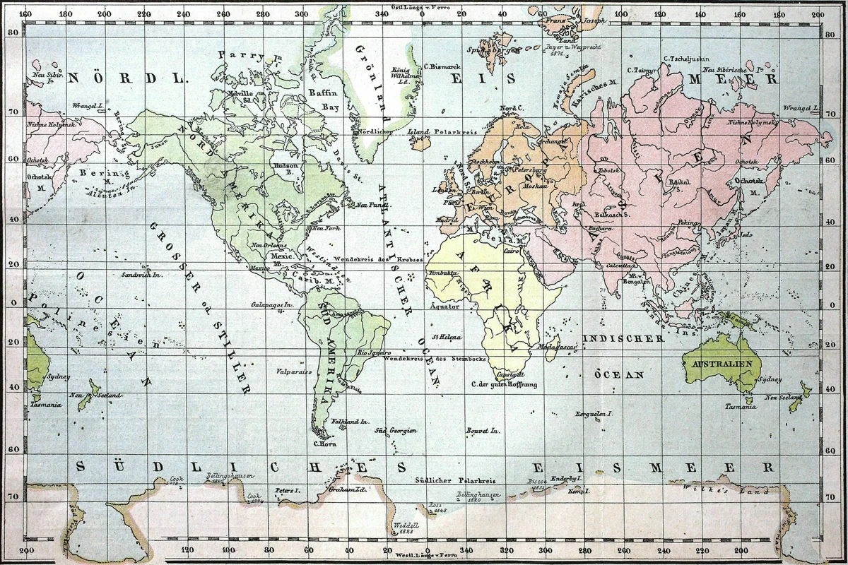
Trump probably sees himself in that tradition — one several centuries removed from modern times, in any case. Recently, when the U.N. General Assembly voted to replace the 500-year-old Mercator projection of the world map with a new one in which the relative sizes of countries are shown more realistically, only the United States voted against it.
Iceland is around 103,000 square kilometers (39,769 square miles) in area. And it belongs to Europe. According to current understanding, anyway. Even though Icelanders recently made it clear in a referendum that they do not wish to belong to the European Union, the small island with just under 400,000 inhabitants lies at the far northwestern edge of Europe — purely geographically speaking.
Of course, none of this interests the man in the White House. He recently posted on his propaganda channel Truth Social a graphic that covers Canada, Greenland, Mexico, Cuba and, yes, Iceland in the Stars and Stripes. Is this the power-hungry president’s next act of madness? There was no need for a caption under the fake map. It was taken seriously anyway.
The U.S. ambassador to Iceland was summoned to the Ministry for Foreign Affairs in Reykjavik: This appropriation will not be tolerated. Canada kept its cool: It’s in the middle of a trade war unleashed by Trump, and that is more dramatic than a graphic. The EU is already courting Greenland, a resource-rich autonomous territory of Denmark, with the combined weight of European Commission President Ursula von der Leyen and Danish Prime Minister Mette Frederiksen. And Mexico and Cuba have been acquainted with Washington’s cravings for 200 years.
Trump in the Tradition of Royal Despots
The cartographer’s profession is relatively recent, first appearing in this form only in the 19th century. Before then, people who drew the world were called world describers, cosmographers, map painters or mapmakers. Using the means at their disposal and working on political commissions, they set out to classify and name lands, depicting them within the power relations of history. Some of the foundations of their work included the stars, land measurements and water boundaries. In despotic times, the king’s orders also played a role.
Trump probably sees himself in that tradition — one several centuries removed from modern times, in any case. Recently, when the U.N. General Assembly voted to replace the 500-year-old Mercator projection of the world map with a new one in which the relative sizes of countries are shown more realistically, only the United States voted against it.
Previous article
